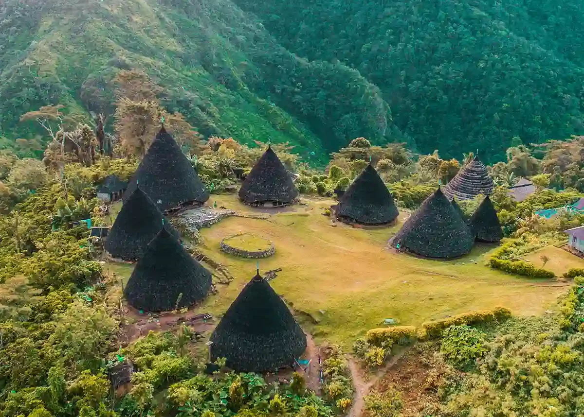
Wae Rebo
Seven cone-roofed houses at 1,100 m, reachable only on foot.
Orientation · Nusa Tenggara Timur
Komodo sits off the western tip. Behind it lie 600 kilometres of volcanoes, crater lakes, weaving villages and a coast almost nobody sails.
Plan your routeFlores is a long volcanic island in eastern Indonesia, roughly 600 km west to east, with Labuan Bajo and Komodo National Park at its western end.
Labuan Bajo · far west
Ruteng · western highlands
Bajawa · central highlands
Riung · north coast
Ende & Kelimutu · south-central
Maumere · east
Larantuka · eastern cape
Almost every visitor lands in Labuan Bajo. Each region east of it adds a day of driving and subtracts a degree of tourism.
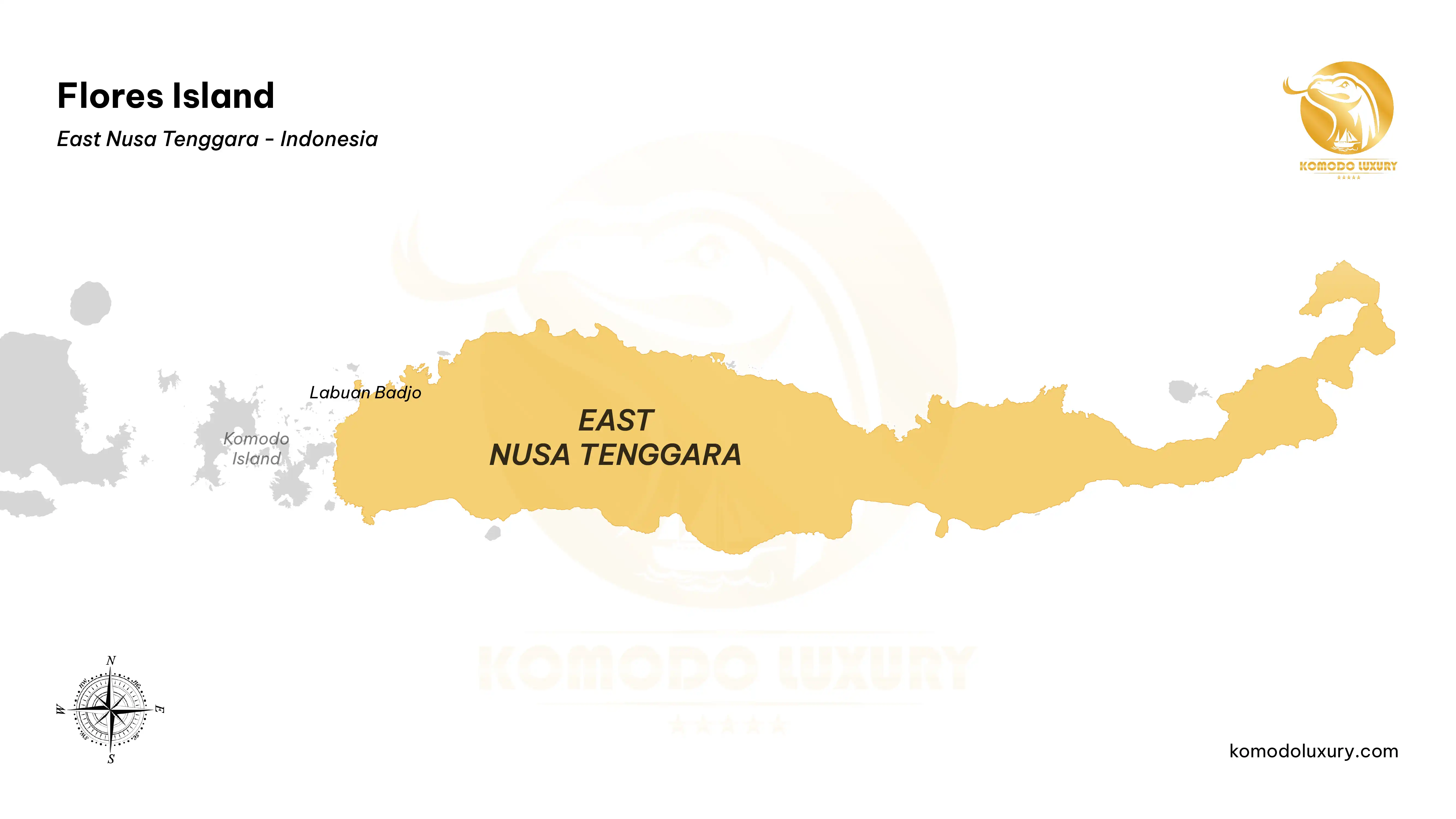
Flores is not near Bali in the way maps suggest — it is a separate island chain entirely, about 1 h 10 m by air from Denpasar and a four-day sail from Lombok.
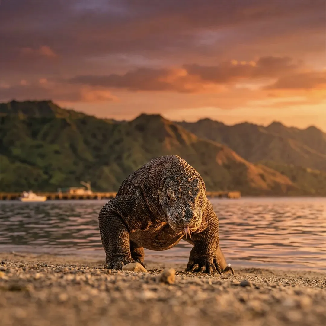
Komodo National Park lies off the western tip, which is why Labuan Bajo is the gateway for almost everyone. The dragons live on Komodo and Rinca and nowhere else on earth.
The Trans-Flores Highway runs the length of the island. It is sealed for nearly all of it, and narrow, steep and slow for nearly all of it too.
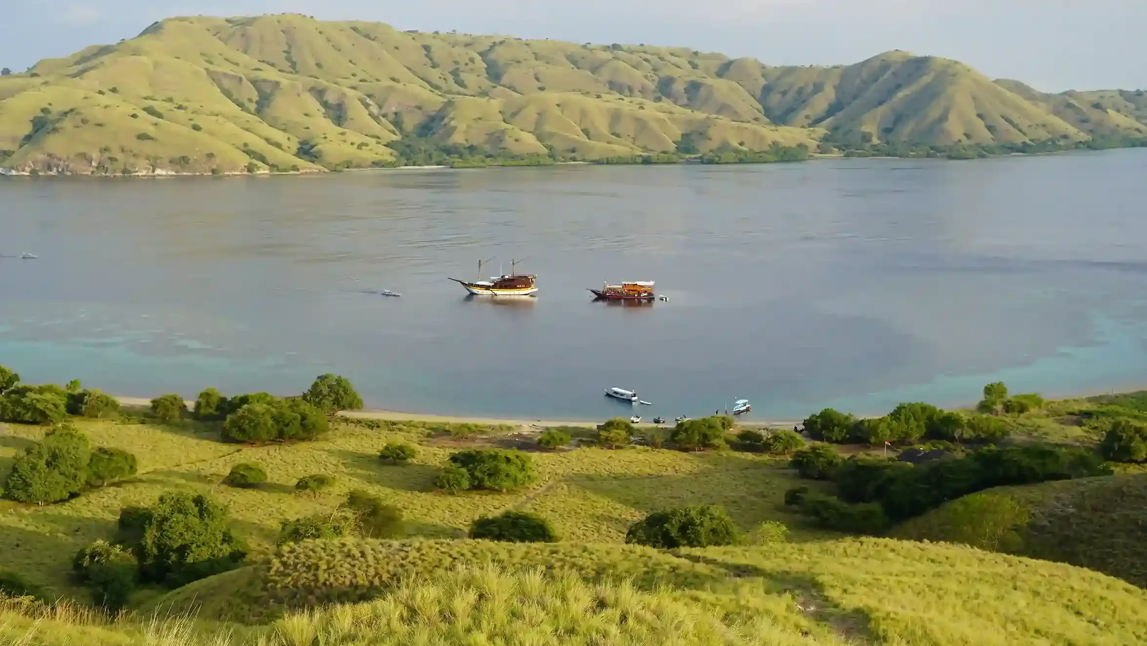
The sea side is Komodo National Park and the coasts either side of it — sailing, diving and island hopping from a boat that moves overnight while you sleep.
The land side is the highlands: villages still lived in rather than preserved, three crater lakes that change colour, hot springs, rice terraces cut in spider-web rings.
Most travellers pick one. The island rewards those who take both, in that order — sail first while your legs are fresh, then drive east as the trip slows down.
Destinations
Each has its own guide with access, timing and what it actually costs.
Seven cone-roofed houses at 1,100 m, reachable only on foot.
Three summit crater lakes that change colour, best met at sunrise.
A quiet north-coast marine park: empty islets, sandbars and flying foxes.
The wild east by liveaboard — muck bays, walls and the Pantar Strait.
3
4–5
7
10–14
If you can decide only one thing before writing to us, decide your day count. Everything else can be shaped around it.
Tell us how long you have and whether you lean to sea or land. A planner sends a route and an itemised quote within 24 hours.